When you are monitoring a pipeline network, not every risk stays around long enough to be seen.
Some excavation works can start and finish within a single day. By the time the next car patrol passes or a helicopter flies over the corridor, the machinery may already be gone.
For Slovnaft, this created a clear monitoring challenge. The company already used car patrols, helicopter inspections and satellite monitoring across its pipeline network in Slovakia, but short-duration groundworks could still happen between observations.
Together with Orbital Eye, Slovnaft set out to test whether daily satellite screening could help close that gap.
Adding a Daily Satellite View
Orbital Eye and Slovnaft (MOL Group) added PlanetScope imagery to the satellite monitoring workflow already being used across the network.
PlanetScope provides near-daily multispectral imagery at approximately three-metre resolution. It was not intended to replace the other satellite sources, but to add another layer alongside Sentinel-1, Sentinel-2 and high-resolution optical imagery.
This created a different monitoring pattern. Instead of waiting several days for the next opportunity to observe a particular part of the corridor, the additional imagery provided a near-daily view that could be used to screen for smaller and shorter-lived changes.
The idea was simple: the more often the corridor is observed, the greater the chance of detecting short-lived activity, or the traces it leaves behind.
Putting It to the Test
To see how the approach performed in practice, Slovnaft carried out a series of planned repair works along its pipeline network.
Sixteen small groundworks were included over a period of approximately two months. Most lasted between one and two days and involved a small excavator and a limited number of vehicles, closely resembling the type of short-duration activity that can be difficult to pick up through routine monitoring.
What became interesting was that the satellite did not always need to capture the machinery itself.
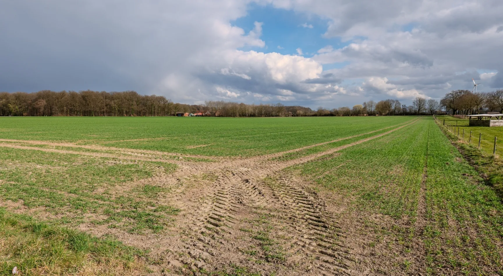
Excavation works change the surface around them. Vegetation can be removed, soil disturbed and tracks left by machinery. These changes can remain visible after the excavator has left, giving operators another opportunity to identify that activity has taken place.
In greener areas, those traces tended to stand out clearly against the surrounding vegetation. In more sparsely vegetated or bare fields, the differences could be much harder to see.
What the Daily View Revealed
Of the 16 short-duration groundworks included in the test, 11 could be identified in the PlanetScope imagery - 70% of the activities tested.
In many cases, it was not the machinery itself that revealed the activity, but the traces left behind, such as disturbed soil or vegetation. Cloud cover and changing ground conditions could still make some works difficult to detect.
The takeaway was clear: frequent observations can help close the gaps, but combining different satellite sources gives the most complete picture.
Looking More Often Can Be Just as Important as Looking Closer
For small, short-lived excavation works, it is easy to assume that the answer is always higher-resolution imagery.
The Slovnaft test showed that the picture is more nuanced.
A very detailed image can clearly show an excavator if it happens to be taken at the right moment. But when an activity lasts only a day, the frequency of observations becomes just as important. A slightly broader view taken much more frequently creates more opportunities to capture either the works themselves or the changes they leave behind.
The results showed that the ability to identify short-duration groundworks depends strongly on how frequently the corridor is observed and how long the disturbance remains visible afterwards, rather than image resolution alone.
That makes daily multispectral imagery even more useful as an additional layer within a wider satellite monitoring approach.
Closing the Gaps in Pipeline Monitoring
For Slovnaft, adding a daily satellite view was not about replacing existing inspection methods. It was about strengthening what was already there.
Car patrols, helicopter inspections, radar imagery, optical satellites and high-resolution imagery each provide a different piece of information. Adding near-daily multispectral imagery helps reduce the time between observations and creates another opportunity to identify activities that may otherwise fall into those gaps.
For pipeline operators, this can provide:
- more frequent visibility across the pipeline right-of-way
- a greater chance of identifying short-duration excavation works
- the ability to detect traces of activity after some works have finished
- an additional layer alongside patrols and existing satellite monitoring
- a more complete view by combining different satellite sources
The results from Slovnaft showed that adding this daily screening layer improved the ability to identify short-duration groundworks, while also highlighting why multiple satellite sources work best together.
"For short duration activities, as soon as possible reporting is the best solution," says Roman Ižold, Pipeline Integrity, MOL Group
Could Daily Satellite Monitoring Close a Gap in Your Network?
Short-duration excavation works can be difficult to capture with any single inspection method. By combining different satellite sources and increasing the frequency of observations, pipeline operators can build a more consistent picture of what is happening along their network.
Discover how COSMIC-EYE works →
Curious whether daily satellite monitoring could strengthen your pipeline monitoring approach?
Arrange a call with our team and let’s explore it together →